- Also available to buy as:
Godfrey Old Ordnance Survey Maps (Newry, 1903)
by
Share
List Price
£3.50
The large scale plans of the Ordnance Survey are quite unique. In a clear and attractive manner they have portrayed our towns and villages in detail over the last 150 yeas. They show not just the streets but virtually every house; the complete track layouts of railways and tramways are given; factories, mills and docks are all shown. The maps contain al the fascinating minutiae that is the lifeblood of history and have become the most complete record of the places where our ancestors lived and worked.
The Godfrey Edition is a major undertaking to reprint these maps, in a convenient and affordable form, for towns throughout the country. This map will delight local historians, genealogists and all who are interested in the history of Northern Ireland and its towns.
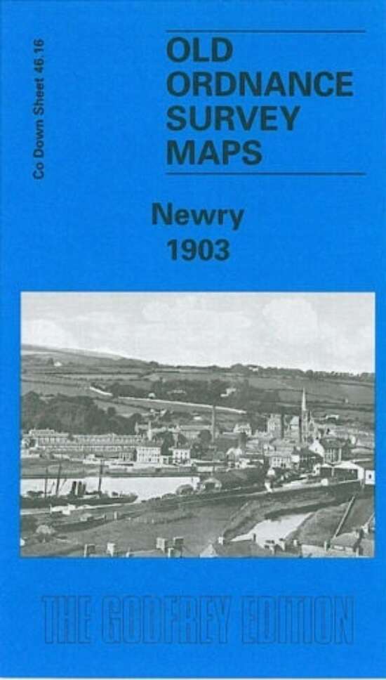
This very detailed map covers the city of Newry at the beginning of the 20th century, and although the OS published it in their Co Down series, the map does extend westward into the Co Armagh part of the town and as far as the Urban District boundary.
Our map is double-sided for maximum coverage and includes Sheet 46.15. Features include the Newry Canal, Merchants Quay, Albert Basin, Dublin Bridge station, Bridge Street station, Edward Street station, Bessbrook & Newry tramway terminus, Cathedral, St Patrick's church, St Mary's church, St Catherine's church, markets, Town Hall, Downshire House.
Map extends east about a mile to Temple Hill, Creeve House. With its railways and canal (shown in detail, with railway tracks, cranes, turntable etc) the map will have especial interest to transport historians as well as those interested in the history of Newry.
-
Page Count-
-
FormatFold Out Map
-
Weight100g
-
ISBN9781841518572
-
Published2006
-
Publisher
-
Dimensions220mm x 5mm x 140mm
-
EditionFirst